Boskoi
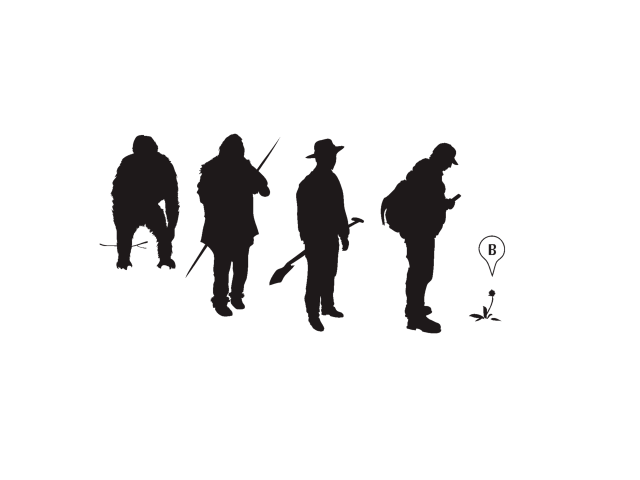
[Boskoi are] grazing hermits, hirsute, bearded, satyr-like savages, clad in the skin of wild beasts; who having neither cells nor habitation of any sort, but living like the cattle in the fields, spent their whole time in praying and singing psalms, and when hungry, tore up with their nails the grass and wild herbs, which they devoured without cooking. —Horace Smith
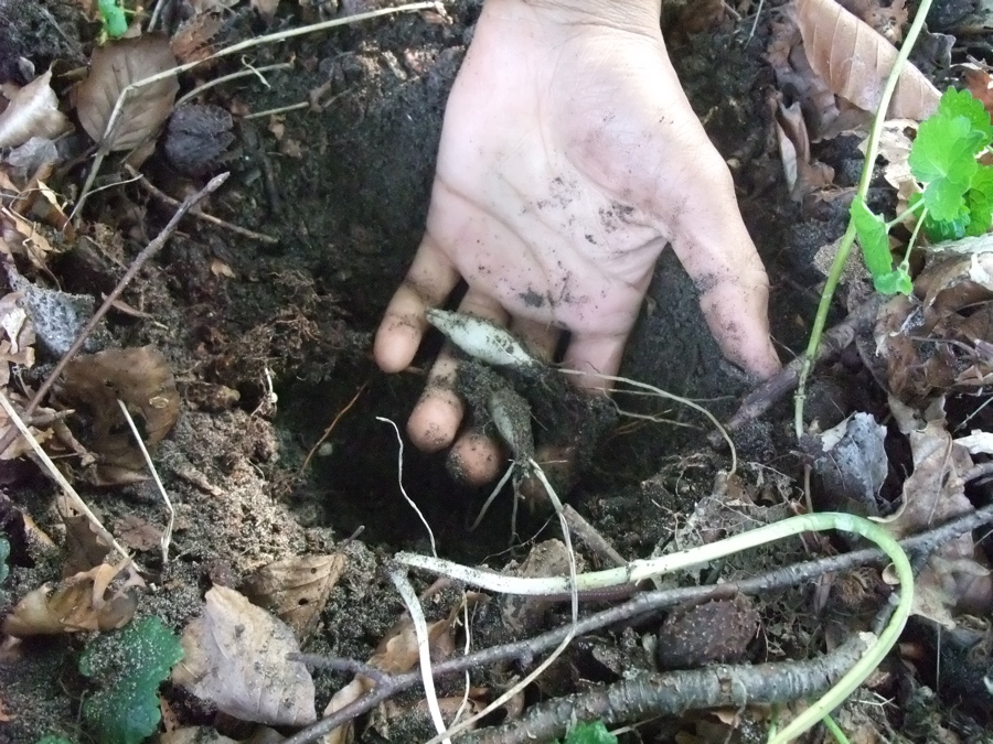
How can you tell if there are wild figs, hazelnuts, or oyster mushrooms in your area?
In 2009 Google Maps was launched and although it focuses on traffic navigation, it offers a potential to re-appropriate the platform as a portal to non-human worlds. Mapping tasty edible wild food sources in cities seemed a good place to start working with digital technology to encourage relationships with plants and urban landscapes. Thus was the Urban Edibles Map born. The map needed to be populated with locations of wild edible food sources. With increasingly widespread smartphones, the immediacy of adding locations on-the-go became possible, especially when the map was integrated with Ushahidi, an open source project for crowdsourcing information in humanitarian crisis situations. This experiment became Boskoi, a mobile phone app to map and navigate the edible landscape with detailed information on wild food sources—their location, edible parts, and medicinal and culinary uses. Boskoi became a portable database of ethnoculinary and ethnobotanic knowledge named after the ancient grazing hermits.
.walk: Eating grass, Crunching Code
❧